


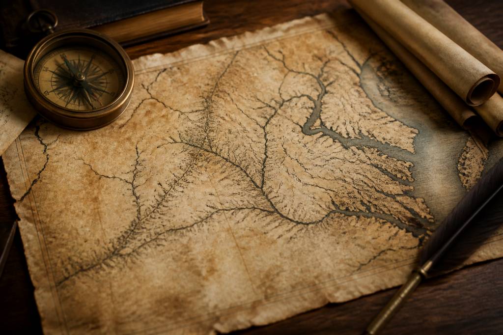
Why the 1607 Map of Virginia Still Matters
When people think of Virginia, they usually picture colonial settlements, rolling coastal plains, and the first fragile foothold of English America. But long before Virginia became a state, it existed on paper first. The 1607 map of Virginia belongs to that early moment when explorers, sailors, and cartographers were trying to turn rumor into geography. It is not just an old document; it is a snapshot of uncertainty, ambition, and survival.
If you spend enough time around historic maps, one thing becomes obvious: they are never just about directions. They show what people thought was important, what they feared, and what they could not yet understand. That is exactly what makes the 1607 map of Virginia so valuable. It helps us see the early colonial world as the English saw it—imperfectly, ambitiously, and often with one eye on profit and the other on danger.
The Historical Moment Behind the Map
The year 1607 was a turning point. The English established Jamestown, their first permanent settlement in North America, along the James River. This was not a casual stopover. It was a strategic move in a broader race with Spain and France to control territory, trade routes, and resources.
Maps produced around this period were part field guide, part political statement. They were used to guide ships, justify claims, and support the colonization effort. In practical terms, a map could mean the difference between finding a navigable river and running aground in shallow water. In political terms, it could help an empire say, “This land is ours,” even when very little of it had been explored in detail.
That tension between exploration and control is at the heart of early colonial cartography. The 1607 map of Virginia reflects both the limits of knowledge and the confidence of empire. It is a document of first contact, but also of first assumptions.
What Early Maps of Virginia Actually Showed
Many people imagine old maps as highly accurate, just with decorative edges and a bit of artistic flair. That is not really the case here. Early maps of Virginia often blended direct observation, sailor testimony, Indigenous knowledge, and pure guesswork. The result is a mixture of precision and imagination.
The 1607 map of Virginia typically emphasized features that mattered to colonial survival and expansion:
- Major rivers and estuaries, especially navigable waterways
- Potential settlement sites
- Coastlines and inlets useful for shipping
- Native communities, often labeled according to English interpretations
- Resource-rich areas, sometimes noted for timber, fish, or fertile land
What is striking is how much empty space these maps leave. That blankness is misleading. It does not mean the land was empty; it means the mapmakers had not yet translated local knowledge into European-style cartography. For the English, unexplored territory was often represented as unfinished business. For the people already living there, of course, the land was fully known.
The Cartographic Style of the Early 1600s
To understand the 1607 map of Virginia, it helps to know how maps were made at the time. Early 17th-century cartography was a practical craft, not a modern science. Surveying tools were limited, longitude was notoriously difficult to calculate, and much of the interior remained inaccessible.
Cartographers relied heavily on:
- Compass bearings taken by sailors
- Dead reckoning for distance estimates
- Sketches made during voyages
- Reports from explorers and settlers
- Interviews and exchanges with Indigenous guides
This explains why early maps often feel slightly unstable. Coastlines may bend oddly. Rivers may be oversized because they were the clearest landmarks available. Distances may be compressed or stretched depending on travel time rather than measured miles. A map was less a perfect model of space and more a working tool shaped by experience.
And yet, those imperfections are exactly what make the 1607 map of Virginia fascinating. You can see the process of discovery still underway. It feels less like looking at a finished product and more like opening a field notebook from a difficult expedition.
Virginia Before Virginia: Indigenous Geography on the Map
One of the most important things to remember is that Virginia was not an empty frontier in 1607. It was home to complex Indigenous societies, including the Powhatan Confederacy, among others. Early maps of Virginia often recorded Native settlements and place names, though usually filtered through English spelling and understanding.
This matters because maps shape memory. When early colonial cartographers marked Native communities, they were not merely identifying locations; they were attempting to classify and control a living political landscape. At the same time, the English depended on Indigenous knowledge to survive. They needed guidance on rivers, seasons, crops, alliances, and local terrain. In other words, the map was never built by Europeans alone.
There is a practical lesson here for anyone interested in historical maps: read the map, but also read the silence around it. What is omitted? What is distorted? Which names survive, and which are erased? These questions reveal as much as the drawn lines themselves.
Jamestown and the River System
If you look closely at a 1607 map of Virginia, the river system usually stands out as the central organizing feature. That makes sense. Rivers were the highways of the era. They carried ships inland, supplied drinking water, supported trade, and offered access to food sources and settlements.
The James River was especially important because Jamestown sat on a peninsula chosen partly for defense and partly for convenience to passing ships. The location was strategic, but it also had problems—brackish water, disease, and swampy conditions made life there brutally difficult. The map may show a promising site; the reality on the ground was less forgiving. If you have ever chosen a campsite based on the view and later discovered the bugs own the place, you understand the principle.
Maps of this era often made such locations look more stable and inviting than they were. That gap between cartographic promise and environmental reality is one of the recurring stories of early colonial Virginia.
How to Read a 1607 Map Like a Historian
You do not need to be a professional historian to get value from an early colonial map, but you do need the right approach. Treat it less like a modern navigation chart and more like a layered historical source.
Here is a practical way to read it:
- Start with the waterways. Rivers tell you where movement, trade, and settlement were likely to happen.
- Check the place names. They often reveal who made the map and whose knowledge was being used.
- Look for scale problems. Early maps often exaggerate important places and shrink unknown ones.
- Note the edges. The periphery can reveal what was still uncertain or contested.
- Compare with a modern map. This shows what the cartographer got right, what they guessed, and what they missed entirely.
A historian’s job is not to admire the map only as art, but to interrogate it as evidence. Why was this river emphasized? Why is that region vague? Why are some settlements marked while others are absent? Those details can open up a much larger story.
Who Made These Maps, and Why?
Early maps of Virginia were produced by a mix of surveyors, expedition chroniclers, engravers, and investors. Some were created to support official colonial planning. Others were published to attract funding or to advertise potential wealth overseas. In many cases, the map was part of a larger narrative designed to convince people that colonization was both possible and profitable.
This is where you need a bit of healthy skepticism. A map can be technically useful and politically persuasive at the same time. A cartographer might highlight fertile land, abundant rivers, and strategic harbors while downplaying disease, resistance, or logistical failure. In other words, maps could sell a dream.
For the Virginia colony, that dream was especially important. The early years at Jamestown were marked by starvation, conflict, and instability. A compelling map helped keep the broader colonial project alive, even when reality was far rougher than the promotional version.
What the Map Reveals About Colonial Thinking
The 1607 map of Virginia is not just a geographic artifact. It is also a window into colonial mindset. The English saw land as something to be surveyed, named, divided, and eventually owned. That worldview appears repeatedly in the way the map organizes space.
There is often a strong emphasis on order: coastlines traced, rivers labeled, settlements placed into categories, and territories framed as available for use. This reflects a European assumption that mapping was a step toward possession. If you could draw it, you could claim it. If you could name it, you could explain it. If you could explain it, you could control it.
Of course, the land was already part of existing cultural and political systems. The map’s power came not from truth alone, but from authority. It was a tool of empire as much as exploration.
Why This Map Still Interests Travelers and History Lovers
For modern travelers, the 1607 map of Virginia offers something more than academic interest. It changes the way you see a landscape. When you visit the James River, Jamestown, or the broader Tidewater region, you are not just looking at scenic water and colonial landmarks. You are standing in a space that was once uncertain, contested, and intensely important to the early English project in North America.
That perspective deepens the experience. A river crossing becomes more than a photo opportunity. A settlement site becomes more than a museum stop. You start noticing how geography shaped survival, politics, and expansion. You begin to understand why maps mattered so much when every mile could alter the future of a colony.
If you like history with practical edges, this is the kind of topic that rewards close attention. Maps are portable evidence. They are also reminders that every journey begins with some version of a plan, and plans have a habit of changing once real terrain gets involved.
Useful Ways to Explore Early Virginia Cartography Today
If you want to dig deeper, there are a few straightforward ways to study the 1607 map of Virginia and related materials:
- Visit colonial history museums and research collections that preserve early maps and reproductions
- Compare scanned historical maps with modern GIS-based overlays
- Read primary accounts from Jamestown-era travelers and settlers
- Study Indigenous histories alongside colonial sources for a more balanced picture
- Look at map annotations, legends, and decorative features for clues about intent and audience
One useful habit is to trace the map’s main waterways onto a modern atlas. You will quickly see how much of Virginia’s early development followed the rivers. That is not a coincidence. Water was transportation, defense, food, and communication all at once. In a frontier colony, that combination was gold.
Final Takeaway for the Curious Reader
The 1607 map of Virginia is valuable because it captures a moment when English colonization was still fragile, improvisational, and deeply dependent on geography. It shows how early mapmakers tried to convert uncertainty into usable knowledge. It also reminds us that maps are never neutral. They reflect power, perspective, and purpose.
For anyone interested in colonial history, cartography, or the practical side of exploration, this map is a strong starting point. It is a document worth reading carefully, not just admiring from a distance. And like many old maps, it rewards patience: the more attention you give it, the more it gives back.
So the next time you see a 17th-century map of Virginia, don’t just look at the lines. Ask who drew them, what they knew, what they hoped, and what they could not yet see. That is where the real history begins.